1
2
3
4
5
6
7
8
9
10
11
12
13
14
15
16
17
18
19
20
21
22
23
24
25
26
27
28
29
30
31
32
33
34
35
36
37
38
39
40
41
42
43
44
45
46
47
48
49
50
| require(["esri/map",
"esri/geometry/Point",
"esri/graphic",
"esri/symbols/SimpleMarkerSymbol",
"esri/symbols/SimpleLineSymbol",
"esri/symbols/SimpleFillSymbol",
"esri/tasks/Geoprocessor",
"esri/tasks/FeatureSet",
"esri/tasks/LinearUnit",
"dojo/domReady!"], function (Map, Point, Graphic, SimpleMarkerSymbol, SimpleLineSymbol, SimpleFillSymbol, Geoprocessor, FeatureSet, LinearUnit) {
map = new Map("map", {
basemap: "osm",
zoom: 5
});
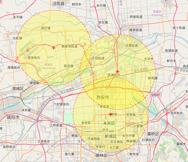
map.on("click", function (evt) {
var symbol = new SimpleMarkerSymbol(SimpleMarkerSymbol.STYLE_CROSS, 12, new SimpleLineSymbol(SimpleLineSymbol.STYLE_SOLID, new dojo.Color([255, 0, 0]), 2), new dojo.Color([0, 255, 0, 0.25]));
var graphic = new Graphic(evt.mapPoint, symbol);
map.graphics.add(graphic);
var gp = new Geoprocessor("http://localhost:6080/arcgis/rest/services/webgis/BufferGP/GPServer/BufferModel");
var featureSet = new FeatureSet();
featureSet.fields = [];
featureSet.features = [graphic];
var dis = new LinearUnit({
"distance": 10000,
"units": "esriMeters"
});
var bufferParams = {
input: featureSet,
dis: dis
};
gp.execute(bufferParams, showResult, function (err) {
console.log(err)
})
})
function showResult(results) {
console.log(results)
var features = results[0].value.features;
for (var i = 0; i < features.length; i++) {
var geo = features[i].geometry;
var line = new SimpleLineSymbol(SimpleLineSymbol.STYLE_DASHDOT, new dojo.Color([255, 0, 0]), 1);
var fill = new SimpleFillSymbol(SimpleFillSymbol.STYLE_SOLID, line, new dojo.Color([255, 255, 0, 0.25]));
map.graphics.add(new Graphic(geo, fill));
}
}
});
|